What winter? Seattle hits earliest day above 70 degrees on record
** Scott's Note: This article has been corrected to note Monday was the 2nd earliest 70 degree day on record in Seattle. It's the earliest March date, but it reached 70 degrees in Seattle on Feb. 27, 1968 so today is the earliest day above 70 degrees. **
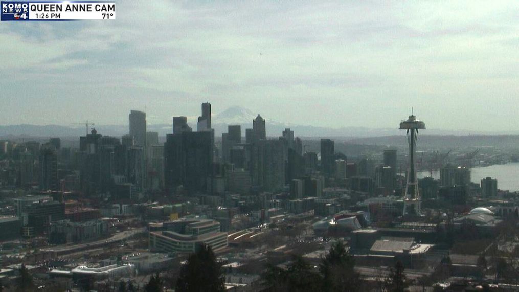
SEATTLE -- February might have had a three-week stretch of below normal temperatures but it was a distant memory on Monday as temperatures soared to heights not seen this early in the year in decades.
Seattle's Sea-Tac Airport (where the official data is kept) reached 73 degrees Monday, not only shattering the daily record high for the day of 68, but making it among the earliest 70-degree days on record at Sea-Tac. The previous "fastest to 70 degree" year was Feb. 27, 1968 but Monday marks the earliest day to be above 70 degrees, breaking the old record of March 15, 1972 when it hit 72.
The 73 degree reading also makes it tied for the 4th warmest March day on record with some daytime heating still to go!
The "heat" comes from a double whammy of an influx of warm air. A storm swirling offshore has pumped in much warmer air from the south, while lower pressure offshore is drawing in east winds along the surface. Those east winds warm further when they sink down the Cascade Mountains.
It's a one-and-done warm day though. That storm offshore will spread clouds in Monday night with light rain developing Tuesday. Highs will quick drop back into the low 50s and stay there for the remainder of the week.
Long range models suggest 70 degrees is not in the cards again anytime soon.