West Coast set to get fancy new high-tech weather satellite


NOAA and NASA are just under a month away from launching the U.S.'s second latest-generation weather satellite -- and this one's for us West Coasties. The first one, GOES-R (Now GOES-16) was launched in 2016 and now sits operational over the East Coast.
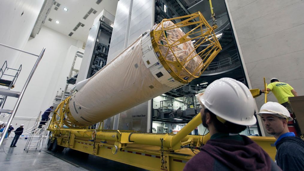
The new GOES-S Satellite launches on March 1 and will eventually be centered at 137 degrees West over the West Coast, giving weather forecasters a vastly more detailed view of the our region's weather, allowing for much better forecasts.
"With the use of our Japanese partners' advanced Himawari satellite, we're able to cover about half the planet with the most sophisticated weather satellites ever flown in space," says Ajay Mehta, acting deputy assistant administrator for systems, NOAA’s National Environmental Satellite, Data and Information Service (NESDIS). "The GOES 16 series is a quantum leap above any of its predecessors."
To give an example, the current satellite covering the West Coast has 5 imagers; the new one has 16. And the cameras have a four-fold increase in resolution, meaning details that are too small to be picked up by current weather satellites are now visible with GOES-S. Visible items can now be seen as small as 500 meters across.
Plus, the imagery comes in much faster now -- a visible photo can be generated every 30 seconds as opposed to several minutes. And photos of the entire Western Hemisphere can be completed in 5-15 minutes as opposed to the current time of three hours.
"The new satellite will augment observations over the Pacific Ocean and over the mountain ranges where radar coverage is limited or blocked," said Tim Walsh, acting director of NOAA’s GOES-R program. "Marine forecasts will improve... as we see features in the atmosphere and ocean that previous satellites would not allow. Combining these images with rapid updates every 30 seconds will help us predict storm systems more rapidly and in real time. "
Joe Pica, director of the National Weather Service Office of Observations, says Hurricane Harvey was a great example of GOES-16's new capabilities. Some 200 people were in a vulnerable spot during the first part of the storm, and the high resolution satellite images gave forecasters in Corpus Christi critical information in tracking the storm's eye. That allowed emergency managers precise timing when they could venture out in the calmer part of the storm to evacuate those 200 people to safety before the second half of the storm's wrath arrived.
During wildfire season, the new satellite will be able to provide forecasters real time fire intensity data to give to fire managers. They found this past summer the GOES 16 satellite was spotting wildfires before a 911 call came in.
"This time saving can be life saving," Pica said.
For the aviation industry, the satellite can also better spot fog, ice, and lightning. "This will help with aircraft flight path planning, and routing of flights to avoid hazardous aircraft conditions as well as reducing disruptions to aircraft operations," Pica said.
Walsh says the satellite will also improve emergency response times to help those in trouble, becoming a crucial part of satellite-based search and rescue networks.
"They'll help save lives by detecting distress signals on orbit from emergency beacons on the Earth," he said.
But perhaps the most exciting new feature of the satellite is the Global Lightning Mapper -- the first operational lightning mappers flown in geostationary orbit. It can sense lightning strikes with extreme precision -- key to getting the jump on developing storms.
"GLM is giving us an accurate picture of total lightning activity - not just cloud-to-ground, but cloud-to-cloud, continuously both day and night across the entire Western Hemisphere," Walsh said. "Intensifying weather systems usually show an increase in lightning, particularly cloud-to-cloud."
You might remember the GOES-16 satellite was powerful enough to capture much of the 2,500 lightning strikes that hit the Pacific Northwest during a severe weather outbreak in early May:
More data for forecast models too...
Dr. Steve Goodman, who recently retired as program scientist for NOAA's GOES Program, told me for a blog last summer on the GOES-R launch that the most critical data needed for forecast models are what he calls "atmospheric motion vectors" -- essentially getting an accurate reading on current cloud and storm developments, how they're developing and where they're going. With the new satellite, they can take three images 5 minutes apart and calculate the intricate movements of the clouds.
"With the higher resolution, we're actually getting more accurate cloud height assignments," Goodman said.
The data is shared across the globe to other nations' meteorology centers and their respective forecast models, which should improve computer model forecasts globally as well. And the data will help human forecasters get a better picture (literally) of current conditions around the planet and even can help approximate radar data in remote locations -- especially with new lightning data.
"If you're out over the ocean, say on a transoceanic flight or just running forecast models for the area ad you don't have radar data... combined data from the new satellite can give you a 'poor man's radar' that can help identify where convective turbulence might most likely be and intensity of the storms," Goodman said. "So the models use that, and forecasters themselves to know where developing convection is, and maybe the intensity of storms."
After its launch, the satellite will undergo six months of testing and calibrations before becoming operational toward the end of 2018, when it will be renamed GOES-17. The current satellite, GOES-14, will likely be scooted over a bit and then essentially be put on the bench in standby mode ready to step in if needed.
NOAA says when GOES-17 is live in tandem with GOES-16 and thefour new JPSS Polar Orbiting Satellites(The first one, NOAA-20, is already up there), the Western Hemisphere will be covered with the most technologically advanced satellites available.
"We expect GOES-S to be the perfect partner to its sister satellite, GOES-16, whose early returns have surpassed our expectations,” said RDML Tim Gallaudet, Ph.D., USN Ret., Assistant Secretary of Commerce for Oceans and Atmosphere and Acting Under Secretary of Commerce for Oceans and Atmosphere. “The revolutionary technology on these satellites, coupled with the skill of NOAA forecasters, will lead ultimately to more lives saved.”
If you want to watch the launch on March 1 and can't make it to Cape Canaveral, Florida, it will be shown on NASA-TV. Launch time is 2:02 p.m. Pacific Time.